
(Solidago/iStock/Getty Images)
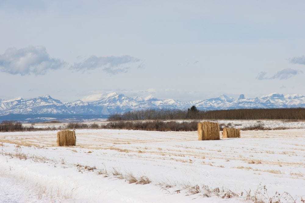
MarketsFarm– So far during the late fall of 2020 Western Canada has experienced little in the way of the La Nina that’s affecting weather elsewhere in the Americas, according to meteorologist Drew Lerner of World Weather Inc. in Overland Park, Kan.
“A La Nina is a typically colder-than-normal weather pattern. There’s above normal precipitation from the front range in Alberta, across southern Saskatchewan, into Montana and parts of North Dakota,” he explained.
Until Dec. 14, temperatures across the Prairies have been above normal rather than below, Lerner noted. Also going against the grain of the La Nina has been lack of precipitation across parts of the region, particularly in southern Manitoba.
However, temperatures turned cold during the evening of Dec. 13 going into Dec. 14 when they sank into the minus 20 Celsius range. When accounting for the wind chill, those temperatures felt like they were in the low to mid -30 C range.
“This week it will be trying to warm up a little bit,” Lerner said, cautioning there’s another shot of cold air following that.
For the remainder of December, the meteorologist expects temperatures to “bounce around like we have been, although not quite as abnormally warm for a while.” December could finish off more on the colder side, with very little possibility of returning to above normal for an extended period, he said.
“I’m not really comfortable with the amount of precipitation. It seems the drier pattern is prevailing and it’s going to interfere with the volume of moisture to come,” Lerner commented.
He said there will be more frequent snowfall events to come throughout winter, but generally lacking any significant volumes.


