‘Above-normal’ Atlantic hurricane season: NOAA
By weather weatherfarm weatherfarm news
| 2 min read
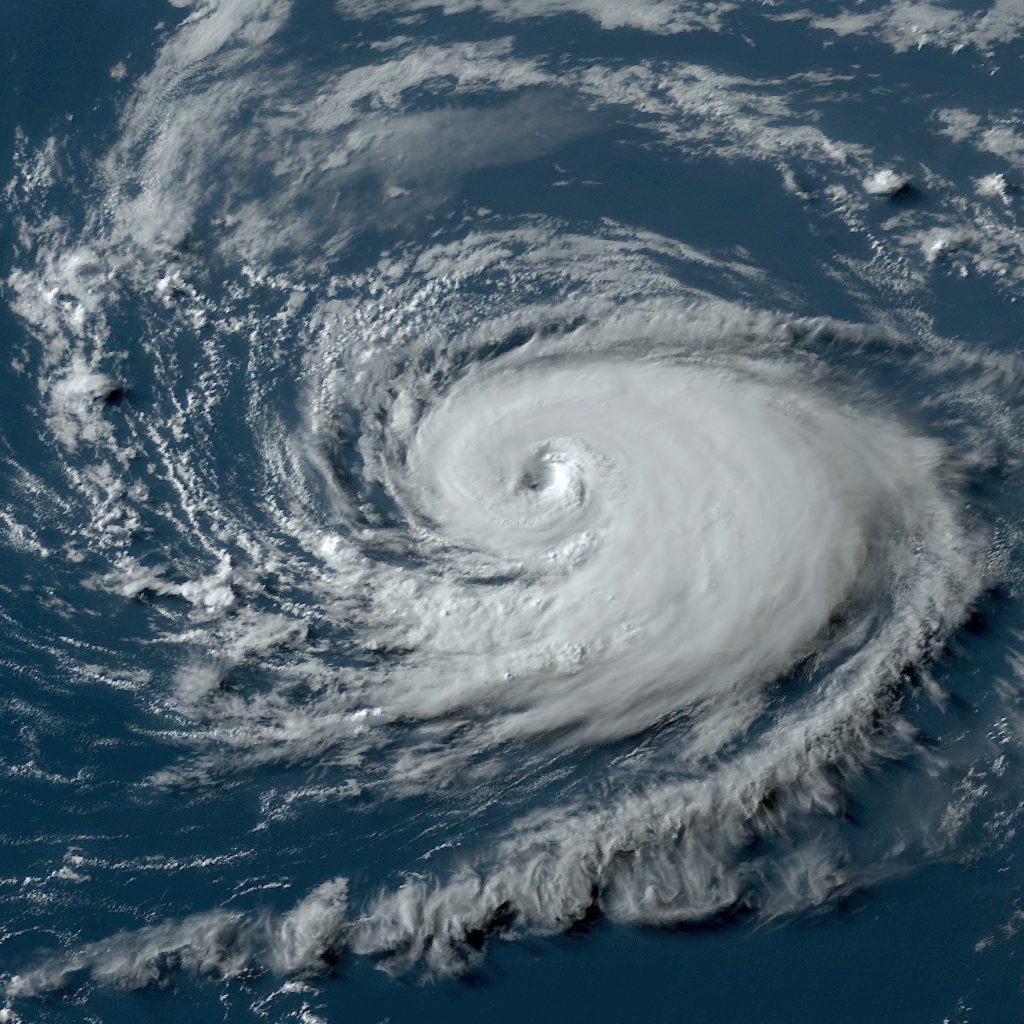
NOAA – Scientists at the United States National Oceanic and Atmospheric Administration’s (NOAA) Climate Prediction Center — a division of the U.S. National Weather Service — have increased their prediction for the ongoing 2023 Atlantic hurricane season from a near-normal level of activity to an above-normal level of activity with their Aug. 10 update. Forecasters believe that current ocean and atmospheric conditions, such as record-warm Atlantic sea surface temperatures, are likely to counterbalance the usually limiting atmospheric conditions associated with the ongoing El Nino event.
NOAA forecasters have increased the likelihood of an above-normal Atlantic hurricane season to 60 per cent (increased from the outlook issued in May, which predicted a 30 per cent chance). The likelihood of near-normal activity has decreased to 25 per cent, down from the 40 per cent chances outlined in May’s outlook. This new update gives the Atlantic a 15 per cent chance of seeing a below-normal season.
NOAA’s update to the 2023 outlook — which covers the entire six-month hurricane season that ends on Nov. 30 — calls for 14 to 21 named storms (winds of 63 kilometres per hour or greater), of which six to 11 could become hurricanes (winds of 119 km/h or greater). Of those, two to five could become major hurricanes (winds of 179 km/h or greater). NOAA provides these ranges with a 70 per cent confidence. These updated ranges include storms that have already formed this season.
The Atlantic basin experienced an active start to the hurricane season with five storms that have reached at least tropical storm strength, including one hurricane already. An average hurricane season produces 14 named storms, of which seven become hurricanes, including three major hurricanes.
“The main climate factors expected to influence the 2023 Atlantic hurricane activity are the ongoing El Nino and the warm phase of the Atlantic Multi-Decadal Oscillation, including record-warm Atlantic sea surface temperatures,” said Matthew Rosencrans, lead hurricane season forecaster with NOAA’s Climate Prediction Center. “Considering those factors, the updated outlook calls for more activity, so we urge everyone to prepare now for the continuing season.”
El Niño conditions are currently being observed and there is a greater than 95 per cent chance that El Niño will continue through the Northern Hemisphere winter, according to the latest ENSO discussion from the Climate Prediction Center. El Niño usually results in atmospheric conditions that help to lessen tropical activity during the Atlantic hurricane season. So far, those limiting conditions have been slow to develop and climate scientists are forecasting that the associated impacts that tend to limit tropical cyclone activity may not be in place for much of the remaining hurricane season.
A below-normal wind shear forecast, slightly below-normal Atlantic trade winds and a near- or above-normal West African Monsoon were also key factors in shaping this updated seasonal forecast.
NOAA’s hurricane outlooks are forecasts of overall season activity, not landfalls. A storm’s landfall is usually the result of mesoscale weather patterns and are typically predictable within roughly one week of a storm approaching a landmass.


