ECCC releases top 10 weather stories of 2025
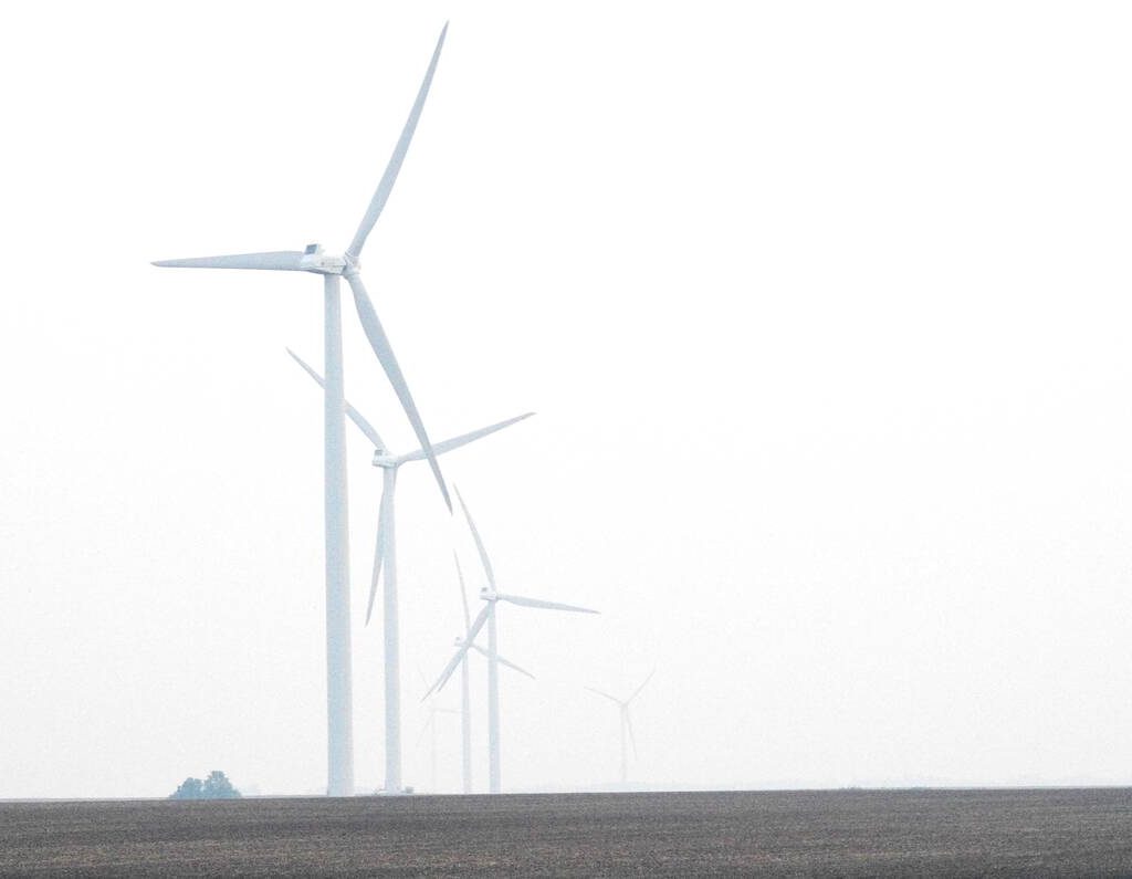
Windmills in central Manitoba disappear into heavy smoke June 9, 2025. Wildfires in Manitoba and across Western Canada led to widespread air quality warnings through May and June 2025. Photo: Alexis Stockford
Environment and Climate Change Canada – Wildfires affecting various parts of the country from April to September were the number-one weather story in Canada in 2025, said Environment and Climate Change Canada on Dec. 18.
The department released its annual list of the top 10 weather stories in Canada, which included flooding, thunderstorms, ice storms and drought among other weather phenomena during the year.
- Nationwide wildfires – 2025 was the second-worst wildfire season in Canadian history in terms of area burned, only surpassed in 2023. Nearly 22 million acres were destroyed, with almost half in Manitoba and Saskatchewan, and affecting every province and territory except Nunavut. More than 75,000 people were evacuated, mostly from First Nations communities, and two people from Manitoba lost their lives in the fires.
- Drought leaves country parched – Last year’s wildfires were fuelled by dry conditions over the spring and summer. Parts of the central and northern Prairies and in other regions received less than half their usual summer rainfall. As of the end of September, 85 per cent of the country was abnormally dry or in drought, including 76 per cent of the country’s agricultural lands.
- Thunderstorms in Ontario – Central and eastern Ontario saw torrential rains and damaging thunderstorms on June 21 and 22. Samuel de Champlain Provincial Park, located between Sudbury and Ottawa, reported winds up to 190 kilometres per hour. Meanwhile, nearby Algonquin Provincial Park received 87 millimetres of rain in two hours.
- Manitoba heatwave – The first half of May saw stifling heat in the Prairies, but especially in southern Manitoba. The border town of Emerson reached 37.8 degrees Celsius on May 11, while Winnipeg had its second-hottest May day on record on May 13, reaching 37 C. The heat events also triggered wildfires in eastern Manitoba and northwestern Ontario.
- Eastern Canada ice storm – Ontario and Quebec experienced freezing rain lasting from March 28 to 31, creating up to 25 mm of ice buildup which broke tree limbs and power lines. As many as 380,000 Ontario residents lost power on March 30 with the cities of Orillia and Peterborough declaring states of emergency.
- Snowstorms – A trio of February snowstorms brought heavy snow to Ontario, bringing more than 100 centimetres to some areas. Atlantic Canada received more snow as well as winds gusting to more than 200 km/h. In November, another snowstorm brought up to 16 cm in southern Ontario and up to 25 cm in Quebec.
- Severe Prairie storms – A storm system on Aug. 20 brought hail, heavy rains and a tornado to the Prairies. Winds flattened crops, which reached 165 km/h near Brooks, Alta., while a tornado touched down near Buffer Lake, Sask. Southwestern Manitoba communities had flooded fields after receiving more than 100 mm of rain.
- Tuktoyaktuk floods – A rare Arctic storm surge hit Tuktoyaktuk, Northwest Territories on Aug. 30, containing winds up to 100 km/h and raising water levels to a record 2.62 metres.
- Newfoundland storm – A nor’easter in the middle of Atlantic hurricane season caused sustained winds exceeding 100 km/h for hours on Nov. 3. Thousands in Newfoundland lost power while waves washed over roadways. Meanwhile, heavy snowfall in western Newfoundland caused unsuitable driving conditions.
- Temperature extremes – Late August and early September saw temperature records broken in British Columbia and the Yukon. Ashcroft, B.C. reached 40.8 C on Sept. 3, setting a new all-time temperature record for September in Canada. The next day, Carmacks, Yukon hit 28.3 C for a new highest September temperature record there. On Sept. 6 to 7, record-lows for the time of year were set in Saskatchewan and Manitoba, dipping down to -4.5 C in Key Lake, Sask. on Sept. 6.


