Prairie forecast: Unsettled weather to continue
Forecast prepared August 13, covering August 13 to 20, 2025
By Daniel Bezte
| 4 min read

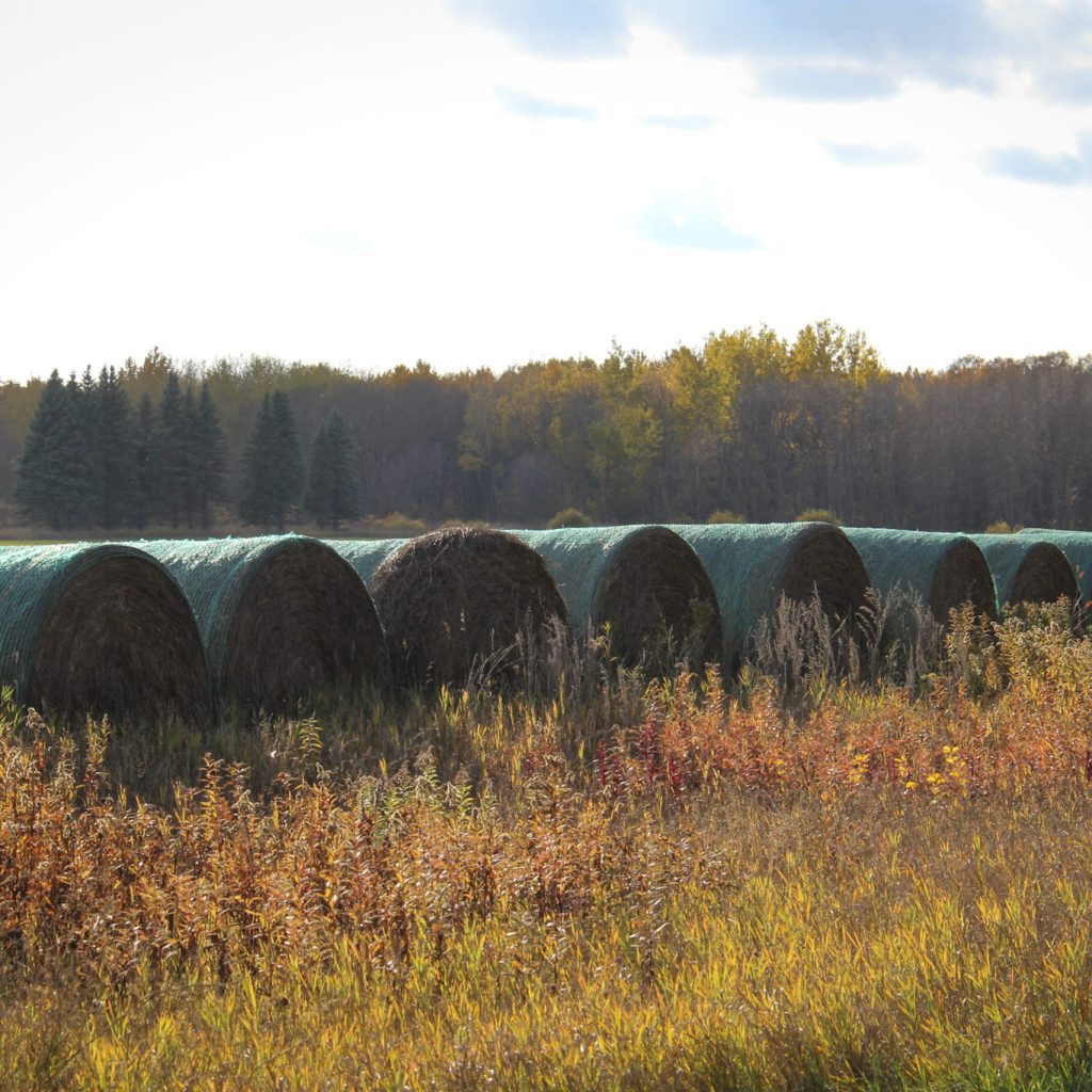
Photo: Geralyn Wichers
The last forecast did a fairly good job with a couple of exceptions. First, temperatures ended up a little cooler than expected thanks to a little more instability and cloud cover. Secondly, and not surprisingly due to the nature of convective rainfall, some locations received more rainfall than what was expected.
For this forecast period it looks like the active pattern that developed last week will continue with a couple of lows forecasted to impact parts of the Prairies.
We start this forecast period off with a large area of low pressure finally pulling out of the eastern Prairies as weak high pressure builds into that region. To the west, an area of low pressure is developing over southern Alberta which looks to be the main weather maker during the first half of this forecast period.
This Alberta low will lift northeastwards over the next couple of days and intensify. This will bring clouds, showers, and thundershowers to Alberta on Wednesday and central and northern Saskatchewan on Thursday.
The warm front associated with low will also push through Manitoba on Thursday and will bring a chance of some showers and thundershowers. This low will lift into northern Manitoba on Friday and will allow for high pressure to build in across the Prairies.
By Sunday, the weather models are showing a disorganized area of low pressure developing a little south of Alberta and then tracking due eastwards across the northern states. The models are showing a trough of low-pressure extending northwestwards with this low. This will bring a mix of sun and clouds to Alberta late on Saturday and into Sunday along with some scattered showers or thundershowers.
The trough will move into Saskatchewan on Sunday and will bring more widespread showers. Manitoba will see the trough arrive late on Sunday and into Monday morning.
Once the trough pushes east, the weather models show a weak surface high pressure building in. This will bring sunny to partly cloudy skies. The models are also hinting as some upper-level ridging developing ahead of another area of low pressure which would allow for some warm mid to late August temperatures to end this forecast period.
Alberta
An area of low pressure forming over southern regions will bring a mix of sun and clouds to the southern half of the province on Wednesday with central and northern regions seeing more clouds than sun. Afternoon and evening showers and thundershowers are expected with central regions seeing the best chance of precipitation.
The low will lift northeastwards into north-central Saskatchewan on Friday. This will allow for clearing skies across the south with some wrap around clouds and showers over northern regions. Temperatures will be on the cool side with highs mostly in the upper teens.
Weak high pressure will build in on Friday and Saturday. This should bring sunny to partly cloudy skies and seasonable temperatures. During the day on Saturday, an area of low pressure over Wyoming will begin to push clouds along with some showers into southern regions.
As this low pushes east on Sunday, a trough extending to the northwest of the low will keep most regions cloudy and cool with occasional showers. This trough should push east by Monday allowing for high pressure to build in. This surface high, combined with some upper-level ridging should bring sunny skies and warm temperatures to end this forecast period with daytime highs forecasted to be in the mid twenties.
Saskatchewan and Manitoba
These regions are finally out of the influence of the large area of low pressure that brough widespread thunderstorms and rain over the weekend and early this week. Weak high pressure will be in place on Wednesday but another area of low pressure developing over southern Alberta looks to bring a return to cloudy skies along with the chance of showers and Thundershowers by late in the day Wednesday over Saskatchewan and by Thursday over Manitoba.
The low is forecasted to lift to the northeast and be centered around Saskatoon by Thursday morning. Most of the precipitation from this low will fall to the north of the center but some scattered showers or thundershowers can be expected to the south of the low.
Over Manitoba, the warm front is forecasted to push through on Thursday. This will bring mostly cloudy skies along with the chance of showers and thunderstorms. Temperatures will be warm across Saskatchewan on Wednesday ahead of the low with daytime highs in the upper twenties. These warm temperatures will push through Manitoba on Thursday.
Weak high pressure will build in on Friday and Saturday bring sunny to partly cloudy skies along with seasonable temperatures. The weather models then show an area of low pressure over the northern states, with trough extending northwestwards, pushing eastwards. This trough will bring increasing clouds to Saskatchewan on Sunday and Manitoba on Monday. Scattered showers and thundershowers are expected with this feature. With the cloud cover, expect cooler temperatures with daytime highs forecasted to be in the upper teens to low twenties.
By the middle of next week, it looks like these regions will see a return to sunny skies and warm temperatures as upper-level ridging tries to build across the Prairies ahead of what looks to be another area of low pressure.


