Canada’s top 10 weather stories of 2022
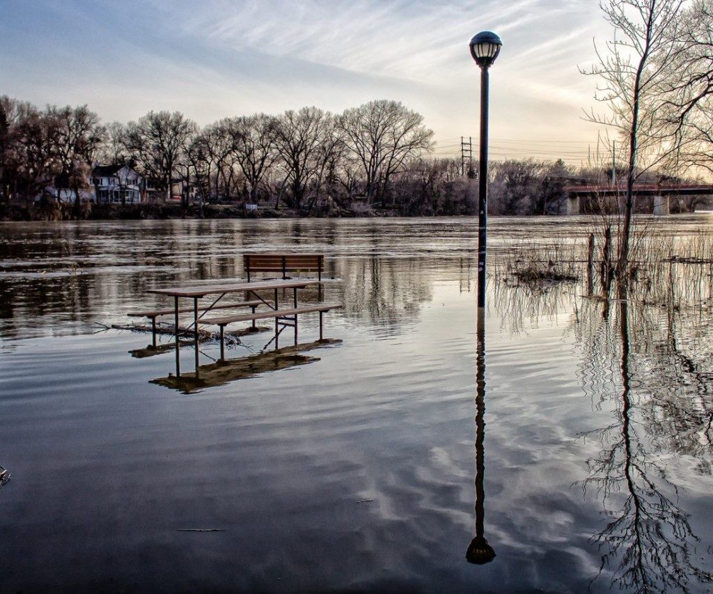
Flood in a Manitoba park with benches and light posts surrounded by water. Photo credit: ECCC
Environment and Climate Change Canada – Environment and Climate Change Canada released its annual list of Canada’s top 10 weather stories of 2022 on Dec. 21. While last year’s severe heat wave through Western Canada was the top story in 2021, a huge storm hitting the East Coast topped this year’s list.
- Hurricane Fiona – After devastating Puerto Rico and the Dominican Republic in mid-September, Fiona reached Atlantic Canada on Sept. 24 with winds reaching 180 kilometres per hour. The storm knocked out power for 600,000 homes and businesses, killed three people and insurance losses totalled C$846 million to be Canada’s most damaging hurricane ever.
- Billion-dollar derecho – Before the May long weekend, a line of storms hit central Ontario and parts of Quebec, bringing torrential rains, large hail and lightning. Three tornadoes touched down, including one in Uxbridge, Ont. with a maximum wind speed of 195 km/h. Thirteen communities declared states of emergency, 11 people died and damages topped C$1 billion for the sixth-largest in terms of insurance losses in Canadian history.
- Manitoba’s wet spring – Manitoba saw some areas get as much as 150 centimetres of snow and five Colorado low systems caused Winnipeg’s wettest spring ever (331.4 millimetres in precipitation) to create severe flooding. Water levels on the Red River were equal to those from the 2009 flood, the highest since 1997’s Flood of The Century. More than 1,000 residents of Peguis First Nation were evacuated and the flooding caused C$10 million in damages.
- Heat under the dome – The “heat dome” which wreaked havoc in the early summer of 2021 returned to raise temperatures and reduce precipitation from July to October. British Columbia was the hardest hit with Vancouver and Victoria only getting 13 and two mm of rain in that span, respectively. Vancouver typically receives 176 mm in that time. Another system in Eastern Canada broke 200 heat records in October and November.
- Wildfires hit both coasts – A slow start to wildfire season in B.C. was disrupted with multiple wide-ranging fires in the province’s Interior region. By October, there were 200 active fires due to a dry fall. In August, Newfoundland and Labrador saw its worst fires in 60 years due to high heat and lightning strikes. They also closed highways, stranding thousands of residents.
- Wet, cool B.C. summer – April saw record-low temperatures for many B.C. communities while May and June saw some of the wettest conditions on record for that time of year. While the weather delayed seeding for crops, it also delayed the forest fire season and helped maintain B.C.’s mountain snowpack.
- Prairies hit with storms – In July, the Prairies were hit with severe storms, especially in Alberta, including an EF-2 tornado near Bergen on July 7, a damaging hailstorm between Calgary and Edmonton on July 15, and more tornadoes near Medicine Hat on July 18 and near Coronation on July 31. Saskatchewan also received baseball-sized hail and Manitoba towns were flooded during the month.
- Montreal swamped with rain – On Sept. 13, as rain started to fall over Montreal, two thunderstorms converged on the South Shore. These storms brought 80 to 110 mm of rain in two hours. Insurance losses totalled C$166 million.
- Frigid start to 2022 – Freezing temperatures, with highs failing to exceed minus-20 degrees Celsius, were a major part of life in Western and Northern Canada to start 2022. The temperature in Whitehorse hit a low of minus-44.8 degrees C on Jan. 6 with Watson Lake, Yukon plummeting to minus-52.2 degrees C on the same day.
- Winter storms in Atlantic Canada – Three storms in January brought blizzard conditions with each one dumping at least 30 cm of snow on parts of the Maritimes. Charlottetown, PEI had its snowiest January on record (150.9 cm), while St. John’s, N.L. and Sydney, N.S. both broke January records for rainfall.


